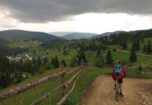
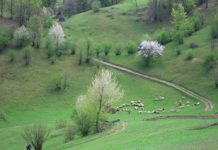
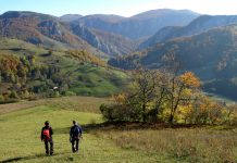
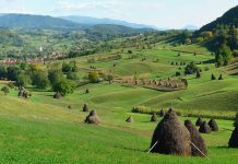
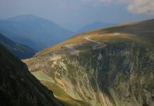
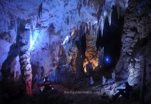
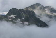
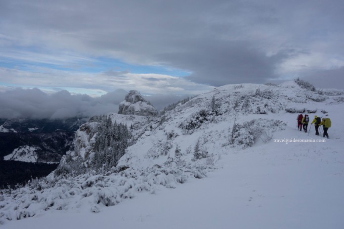
The Ceahlau Mountains have a particularly high tourism potential. Many people have crossed it for tourism purposes for nearly 200 years. Currently Ceahlau is the most circulated mountain unit în the Eastern Carpathians.

Background: The Ceahlau Mountains are located at the intersection of three Romanian historical regions Moldova, Bucovina and Transylvania. Considering the physical and geographical characteristics the Ceahlău is the most interesting mountainous area in the central part of the Eastern Carpathians.
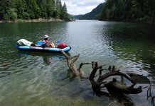
Mountain Spring Lake, (Izvorul Muntelui) the grand accumulation lake would only complete the fame of the massif for tourists. Not being a difficult mountain from technical point of view, tourism can be practiced here throughout the entire year (summer tourism or winter tourism).


The Ceahlau Mountains have an area of 290 km2 from which Ceahlău National Park occupies 26.70%. The entire area of the mountains is located within the Neamț county. The Ceahlău Massif is located in the central division of the Eastern Carpathians.

From a geological point of view, the genesis and the evolution of the Ceahlau Mountains occurred about 200 million years ago, in the end of the Mesozoic Era (Cretaceous). The Ceahlău mountain is “young” as all the Eastern Carpathians.
There is a great similarity between the mountains Ceahlău, Ciucaş and Bucegi. This happens due to the existence of massive blocks of conglomerate rock (eg Panaghia rock and Frying Pans (Tigaiile) from Ciucaş).

The first documented ascent on the Ceahlău massif was done in 1809 by Veniamin Costache, the Metropolitan of Moldavia. As the documents mention, accompanied by monks from the monastery, he climbed on trails known by them to the top of Ceahlău massif.
There are entering fees for visiting Ceahlău National Park. In case you want camp you have to pay 10lei / tent/night.

A trail in the Ceahlău massif, done in two days by TGR team and is:
- Day 1: Durău Resort – Badger (Viezure) Glade – Duruitoarea Waterfall – Scăiuş Glade – Polita Ariniş – Lame Foot Ravine – Dochia Chalet (or mountain shelter below Ocolisu Mic peak). Route Distance: 6,7 km; Possitive Height difference level – 1148 m. Trail marking: red cross.
- Day 2: Dochia chalet (or rmountain shelter below the Ocolisu Mic peak) – Weather Station Complex – Toaca Peak – Cuşma Dorobantilor – Fântânele Chalet – Durău Resort.
Trail marking: red line.
![]()
As accommodation possibilities for the proposed route we suggest: Dochia Chalet (heated rooms) or mountain shelter below the Small Roundabout‘s (Ocolisu Mic) peak. If you go for the latter option you will have to have with you sleeping bag and sleeping pad. The mountain shelter is in good condition. You can not make fire inside.

The tourist route from Durău to Duruitoarea Falls and then to Dochia chalet was been used for a long time. It is part of the seven main marked trails made in Ceahlău mountains. In 1936 the trail was marked with the same sign as today (red cross).
We start from the Bistrita Hotel in resort Durău.

Climbing to Badger (Viezuri) Glade (1189 m) is quite easy and can be done in about 50 min. The trail is maintained. We pass through a beautiful spruce forest. In some steep areas wooden handrails are fitted. For resting, wooden benches with tables were made.

From Badgers (Viezuri) glade to Duruitoarea Waterfall you have to walk at about the same altitude. When you approach the waterfall its noise can be heard. As we progress, it is becomes more powerful, transforming itself into a roll – hence the waterfall’s name The rolling – Duruitoarea.


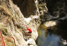
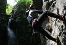
It should take about 30 min to get from the glade to the waterfall. It has a height of 25 m and it was formed on the Rift’s (Rupturi) creek. În the summer it can be done guided canyoning tours.
Starting from Duruitoarea waterfall we continue on the same trail ![]() . The trail continues to the left of the waterfall in climbing direction. The slope is steep but there are wooden railings that are useful.
. The trail continues to the left of the waterfall in climbing direction. The slope is steep but there are wooden railings that are useful.

Attention! The access from Duruitoarea waterfall to Lame Foot Ravine (Curmatura Piciorului) is forbidden in wintertime. Only experienced tourists have access and they have to be equipped with: crampons, ice ax, winter boots with rigid base, trekking sticks.

We have to climb short serpentine or climb abruptly on the more difficult portion. The path becomes better, following the right bank of the Rift’s (Rupturi) valley. We get to the steep area of the Ceahlău Mountains under sheperd’s Stone. The forest thins and soon get out into a small clearing. We find ourselves in Scăiuş glade.
We continue climbing and after 20minutes we get out among juniper trees in the alpine hollow. We reached the Lame Foot Ravine (Curmatura Piciorului Schiop) – altitude 1683 m. To Dochia chalet we have to walk about 1 hour further.

Dochia Chalet is located in the upper area of the massive mountain plateau between Lespezi peaks (1805 m) and Bâtca Gheodon (1845 m). It has a dominant position with total visibility to the east, southeast and south. It is the main chalet of the Ceahlau Mountains and the only accommodation at high altitude. Here you can eat. The prices are acceptable with good conditions. Altitude: 1750 m.

Arriving at the Dochia chalet you can stay overnight here or continue hiking toward the shelter below the Small Roundabout‘s (Ocolisu Mic) peak.

In this case remember to take with you a canister burner. In winter you do not have another source of water other than snow melting. The only downside is the distance from Dochia chalet to the refuge in order to spend the night here.
TGR team chose as alternative accommodation – the mountain refuge under Small Roundabout‘s (Ocolisu Mic) peak.


Day 2: return to the Dochia chalet. To climb the Toaca peak pay attention to snow and weather condition. The slope is quite steep. It is good to have crampons and ice ax on you. From the Toaca peak to the weather station the route is unmarked.

Toaca Peak is the second highest peak in Ceahlau massif, it has 1900m.

Time/routes: Dochia chalet (1750 m) – weather complex’ s cottage (1834 m), 0h 25m – Toaca Peak (1900m) 0h 45m.

On the descent from the Toaca peak, the marking of the tourist trail continue red line. ![]()

We pass under the Dochia rock and enter the spruce forest. Before we get to the Cuşma Dorobantilor rocks there is a beautiful view of Lake Mountain Spring Lake (Izvorul Muntelui).
Another 45 minutes and get down to Fantanele chalet.

You can rest here. The view towards the Bistrița mountains from the chalet’s terrace is extraordinary.

Fantanele Chalet is located on the eastern side of the mountain, in a clearing on the left bank of the river Mountain’s Spring. It has visibility to the steep from Gideon’s bottom, Broad Stone and Short Leg. It represents one of the main points of departure to the high massifs, but also a great place to rest.
Elevation: 797 m.

Descending to Durău resort, will take another hour to the place for hiking starting point.
Bibliography: Monografie, MUNTII CEAHLAU – M. G. Albota [1992]

