


 Canyon the only tourist canyon in the Fagaras Mountains")


 – Apuseni mountains")

 – deepest cave in Romania")


 Castle from Hunedoara")


The Vaşcău Karst Plateau is part of the Codru-Moma Mountains and is the western branch of the Apuseni Mountains. The Codru-Moma Mountains have a maximum altitude of 1.112 m, at the Pleşu Peak. The Vaşcău Karst Plateau is located in the south-east of these mountains.


Another smaller karstic plateau is located in its northern part, the Dumbrăviţa Codru Karst Plateau.
The Vaşcău Karst Plateau lays between:
- the Briheni Valley to the north
- the Momuţa Peak (930m) to the south
- the Beiuş Depression to the east and
- the ridgeline between the Crişul Alb and Crişul Negru rivers to the south-west.
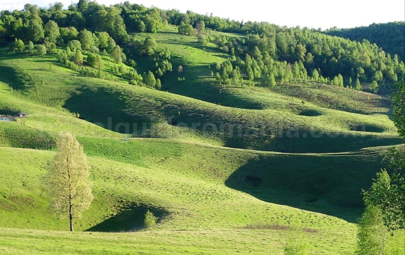
Located at an altitude of 600-700m, the Vaşcău Karst Plateau is presented as a suspended limestone plateau, bordered by valleys. Its area is about 90 km2.
The plateau impresses with many exocarstic forms (karst surface): sinkholes, karst valleys, uvalas, closed basins and fields of limestone pavements.
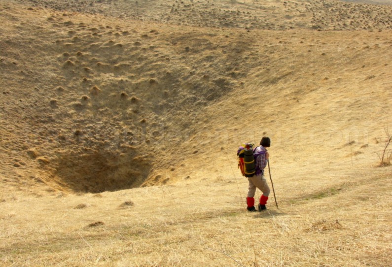

At the western limit of the plateau, along 9 km, there are many uvalas (large karst depressions): Ponoarele, Pocioveliştea, Barișca, Boitoș, Arânda, Sfăraş-Bănişoara-Recea.


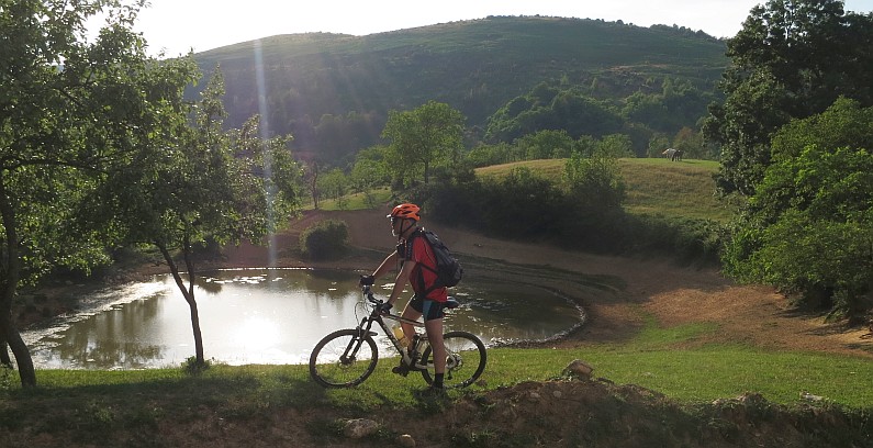
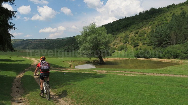
They present a very special landscape, less visited by tourists due to its isolation. This chaotic landscape between two rows of peaks is due to the large number of sinkholes of all sizes. The forest road Vaşcău – Câmp-Moţi – Dezna crosses through the Aranda Uvala, being the easiest way to access this area, filled with sinkholes.


In the east of the plateau an interesting presence are the small lakes housed in sinkholes. These lakes, mainly fed from the water of the rains, were formed as a result of waterproofing the bottom of the sinkholes with clay. The reddish hue of the clay in the area strongly contrasts with the surrounding vegetation.
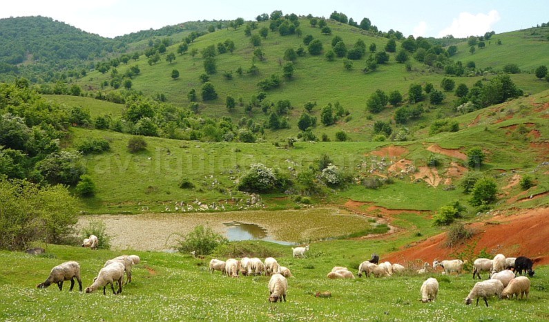
Some of these small permanent or temporary lakes are invaded by vegetation. The most famous are the Tăul de la Coleşti, Tăul lui Ghib, Tăul Dâmbu Șoimului, Tăul Iezer, Tăul Ponorului (almost clogged).

Vascău Karst Plateau is a plateau inhabited in its eastern part. Here are five villages: Călugări, Izbuc, Câmp, Câmp–Moți and Coleşti.


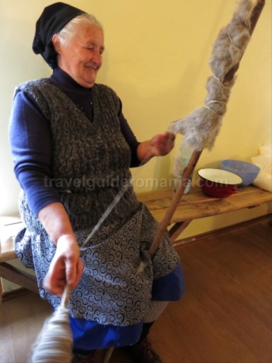
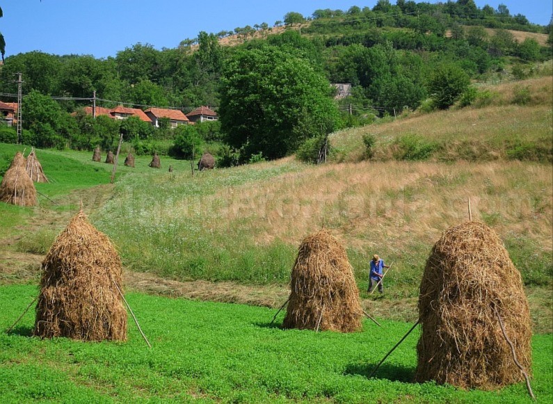
Around these villages you can find many agroterases, where residents mainly grow potatoes.


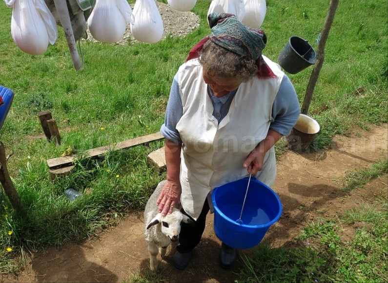
The inhabitants are also engaged in animal breeding; among the sinkholes you can see sheep farms.
But the main occupation until recently was the lime production. In Cărpinet there is a quarry with the purest limestone in Europe. Many limestone burning furnaces – named varniţe can be seen especially in the villages of Izbuc and Câmp – Moţi.
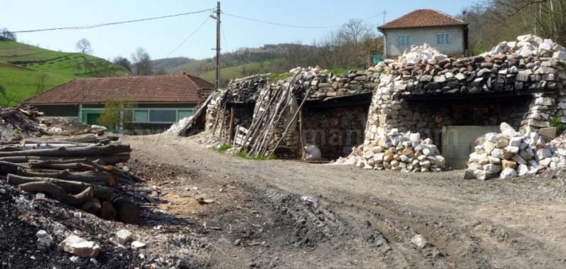

However, burning the limestone requires significant amounts of wood. The need for wood led to deforestation in the surrounding areas. At present this activity has much decreased due to the unprofitability and the long process of obtaining lime.


A new activity arose, determined by the need for natural ornamental and construction stone. The locals from Izbuc and Călugări are involved in the extraction, cutting, trimming and finishing of limestone and of slate.
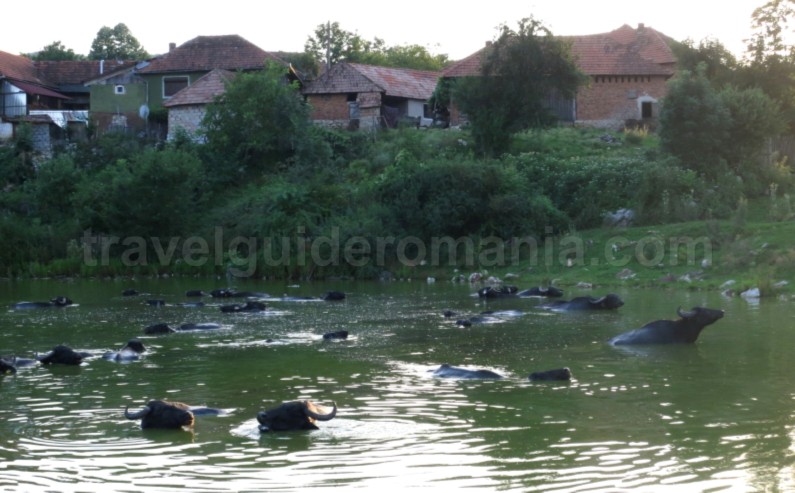
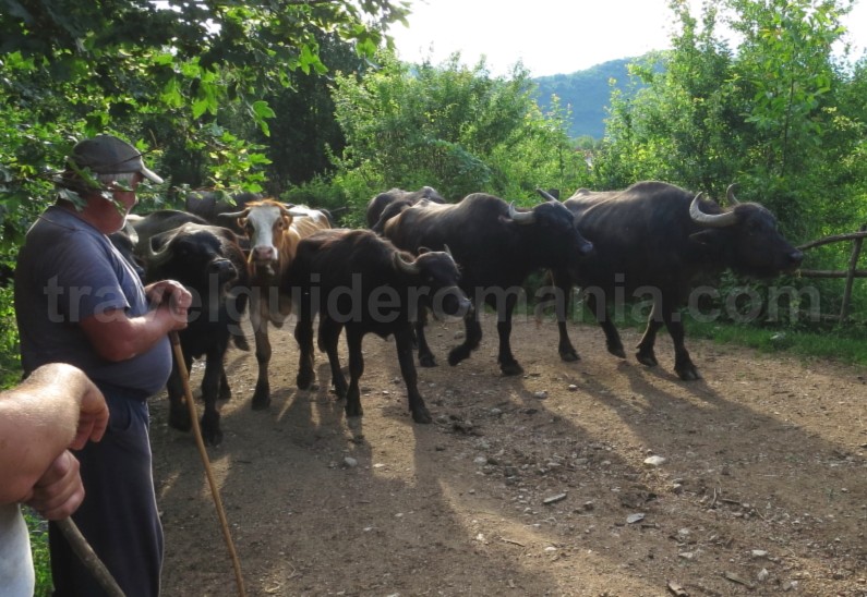
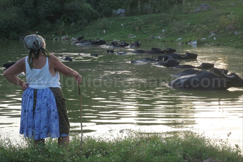
The small village of Coleşti comes alive again thanks to local initiatives that want to develop the community. The aim is to encourage the inhabitants to continue their specific household activities in the area, especially the breeding of water buffalos, and to obtain specific products.

Also, in Coleşti you can find one of the oldest churches in the south of Bihor County, mentioned since the end of the 18th century.

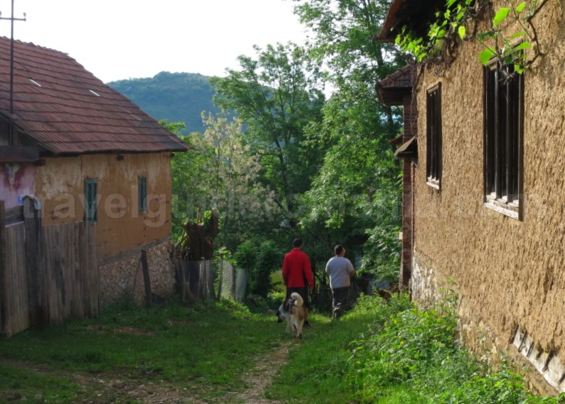

Coleşti is reached from Vaşcău on the asphalt road to Câmp (5km), from where there are 2.5 km on the unpaved road up to the village of Tăul din Coleşti. The villages of Călugări and Izbuc are located in a karst depression/closed basin created by the water of the brook Țarina.


This closed depression has a length of about 8 km and widths of 400-1000m.

The Țarina brook has a short ʺlifeʺ, as it dissapears in the middle of the depression, in one the best known tourist objective of the area, the cave Peștera Câmpenească.
This cave, a speleological reserve, can only be visited with specific equipment. The main portal of the cave has a height of 20m, and the water that is lost in its depths forms a cascade of 35m.

In the rest of the plateau, the endokarst, represented by pit caves and caves is poorly developed. The cave Peștera Câmpenească is located near an isolated household, the last house in Izbuc (150m from it). The access to the cave is made from Vaşcău, on the paved road that goes up to the village of Izbuc (4.7 km). At the edge of the Vaşcău Karst Plateau several springs surface, among which : that from the Briheni Valley and the one near the village of Călugări – Izbucul Călugări.


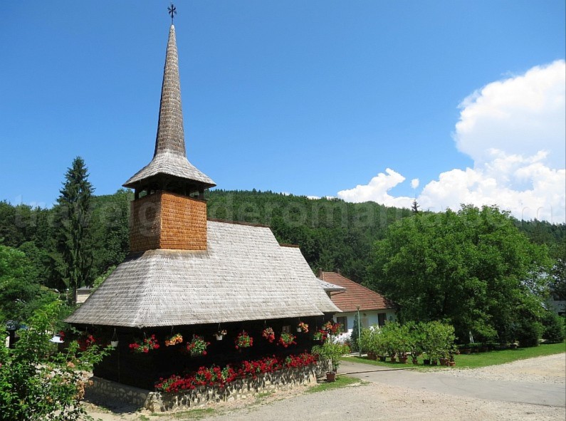
Izbucul Călugări, a hydrogeological nature reserve, is unique due to the phenomenon of intermittent water. The mechanism of underground drainage is manifested at intervals of 15 minutes to an hour. This phenomenon is determined by the amount of precipitation. During dry summers, the spring is dried up. Near this spring, in 1930, monks founded the Izbuc Monastery, nowadays a well-known place of recollection and pilgrimage. Here, there are 2 churches, one of which is made of wood. The wooden church, built in 1696, was brought from Beiuş in 1957.
The monastery can be reached from Cărpinet (located on DN76 Oradea – Deva) by following the 9.5 km paved road to the monastery. There is also a tourist route, marked with blue triangle, which connects Cărpinet and Izbuc Monastery.
Most of the Vașcău Karst Plateau is declared a protected natural area. It is the area south of the villages Câmp, Câmp-Moţi and the forest road leading to the Arânda Uvala.
Natura 2000 site ROSCI 0200 Vașcău Plateau is a site of community importance that preserves natural habitats and protects a diverse range of flora and fauna. The site covers an area of 4.983 hectares and includes the natural reserves: Avenul Câmpenească, Izbucul Boiu and the intermittent spring from Călugări.


Access to the Vaşcău Plateau area:
from DN 76 Oradea-Deva that crosses both the town of Vaşcău and the village of Cărpinet. There are 2 paved roads that go up on the Vaşcău Plateau, respectively to the villages of Câmp and Izbuc. The forest road that leaves the road Suştiu-Briheni and leads to Coleşti is in bad condition.

